
Mapping and Surveying Drones
The use of drones in mapping and surveying has revolutionized the way these tasks are performed. With their ability to cover large areas quickly and capture high-resolution images and data, mapping and surveying drones have become an invaluable tool for a variety of industries, including construction, mining, agriculture, and environmental monitoring.
Mapping drones, also known as aerial survey drones, are used to create highly accurate maps and 3D models of the terrain, buildings, and other objects. These drones are equipped with high-resolution cameras, LiDAR sensors, and GPS receivers that allow them to capture detailed images and data from different angles and altitudes. The images and data collected by the mapping drones are then processed using specialized software to create highly accurate and detailed maps, including topographic maps, orthomosaic maps (maps stitched together), and digital surface models.
Surveying drones, on the other hand, are used to collect precise measurements and data about specific locations, such as construction sites, mines, and quarries. These drones are equipped with GPS receivers, laser scanners, and other sensors that allow them to capture precise measurements of distances, heights, volumes, and other data. The data collected by the surveying drones is then used to create detailed reports, plans, and models that can be used for planning, monitoring, and quality control.
The benefits of using mapping and surveying drones are many. First and foremost, drones can cover large areas quickly and easily, which is especially useful for mapping and surveying tasks that require frequent updates, such as construction sites or mines. Drones can also capture high-resolution images and data that are far more accurate than traditional surveying methods. This level of accuracy can lead to significant cost savings, as it can reduce the need for expensive ground-based surveys and the associated labor costs.
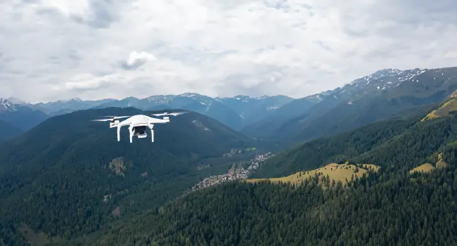
Another significant advantage of mapping and surveying drones is their ability to operate in difficult terrain or hazardous environments. For example, a mapping drone can easily fly over rugged terrain or inaccessible areas, such as cliffs or steep slopes, to capture data that would be difficult or dangerous to obtain using traditional surveying methods. Similarly, surveying drones can be used to measure the volume of material in a mine or quarry, without putting surveyors at risk.
Mapping and surveying drones are a game-changer for a variety of industries, including construction, mining, agriculture, and environmental monitoring. The ability to cover large areas quickly and accurately, and operate in difficult terrain or hazardous environments, makes them an invaluable tool for mapping and surveying tasks. As technology continues to evolve, we can expect drones to become even more sophisticated, with new sensors and capabilities that will make them even more useful for mapping and surveying applications.
Next up: Drone Sports